These Are The Most Dangerous Roads You've Ever Driven
From America to Costa Rica, these are the sketchiest stretches of tarmac that you’ve ever traveled down
We've all taken journeys that ended up being sketchier than we'd expected. Maybe the road turned out to be in a much worse condition than you'd thought it would be, or the traffic around you might have been much more erratic than you were prepared for. Whatever the reason, a lot of factors can make a road seem pretty dangerous.
With this in mind, we turned to you to uncover some of the most dangerous roads you've ever driven. From Kuwait to California, you came back with some great suggestions for risky roadtrips you could take around the world.
We've rounded up some of the top responses we received, so sit back, relax and flick through the following slideshow to uncover some of the deadliest drives Jalopnik readers have ever taken.
Highway 40
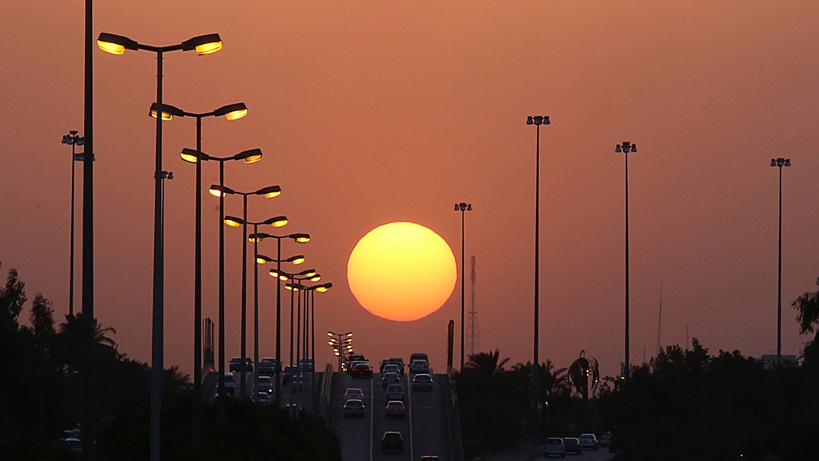
"Road 40 in Kuwait. Actually it is the MOST dangerous road to drive on the planet. Locals only have to buy a box of cereal and get a license as the 'prize inside.'
"Google it. Kuwait is insanely dangerous to drive in."
There are around 350 traffic deaths a year in Kuwait, which is a lot less than the 40,000 we have each year in the U.S. However, in a population that's around 100 times less than America's, that starts to sound alarming.
Suggested by: David Glazener (Facebook)
Million Dollar Highway
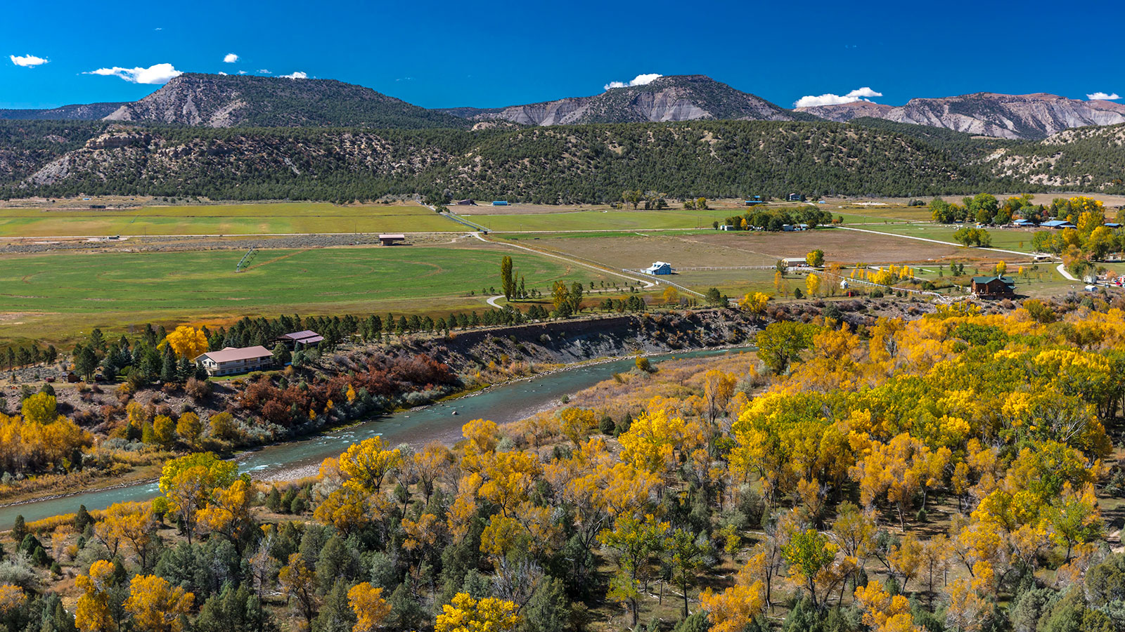
"In April of 1993 I took my 1989 Firebird on a driving tour of the western United States. I'd planned it for months and it was a big deal for me because up to that time I'd never been out of the Midwest. In Colorado my plan was to take Highway 550 south from Montrose to Durango. Upon arriving at Ouray, Highway 550 heads sharply up the mountains to Silverton. I drove right by a big, flashing warning sign that said, 'Four wheel drive or tire chains required after this point.' The way I figured it, there couldn't be anything up there that I hadn't already dealt with previously in my driving life. After all I'd been driving Firebirds exclusively through all my Illinois winters thus far, how bad could it be?
"So I ventured on cautiously. I came to find out later that not only is this a very bad idea, but additionally I didn't know it's actually illegal when those signs are displaying flashing lights. I was about to get an education. About four miles into the climb south of Ouray, my Firebird simply stopped moving forward. Deteriorating ice conditions provided no traction to combat the incline of the highway. To make matters worse, I had gotten the car crossed up nearly perpendicular in the road trying to make headway; any attempt to maneuver only made the car slide further down the hill. If I've ever come close to having a panic attack in my life, this was the time. The road was quite narrow, and the only thing serving as a guardrail was the plowed-up snowbank along the highway edge. I don't remember exactly how but I did eventually get the car straightened out. I put the car in neutral (on the ice, with those tires, the brakes would not control reverse), and carefully rolled slowly backward more that a mile down the mountain. I made it to a lookout where I was finally able to turn around, and drive back down to Ouray.
"I asked one of the locals for the best alternative route around the mountains, as well as the naïve question, was it always like this around here. She looked at me as if I was insane and replied, 'It rains, it snows, it's spring.' My detour would take me around 60 miles out of my way through southwest Colorado, finally meeting up with my originally planned route at Cortez.
"Many years later, I came to find out that the stretch of Highway 550 on which I got stuck (also called the Million Dollar Highway) is considered by some to be the most dangerous stretch of road in the United States. I'd like to give it another try someday, but maybe like in August, thank you very much."
Can you blame the road or the tools you had? Either way, that's a hell of a story.
Suggested by: kinja-lost-my-login
Tail Of The Dragon
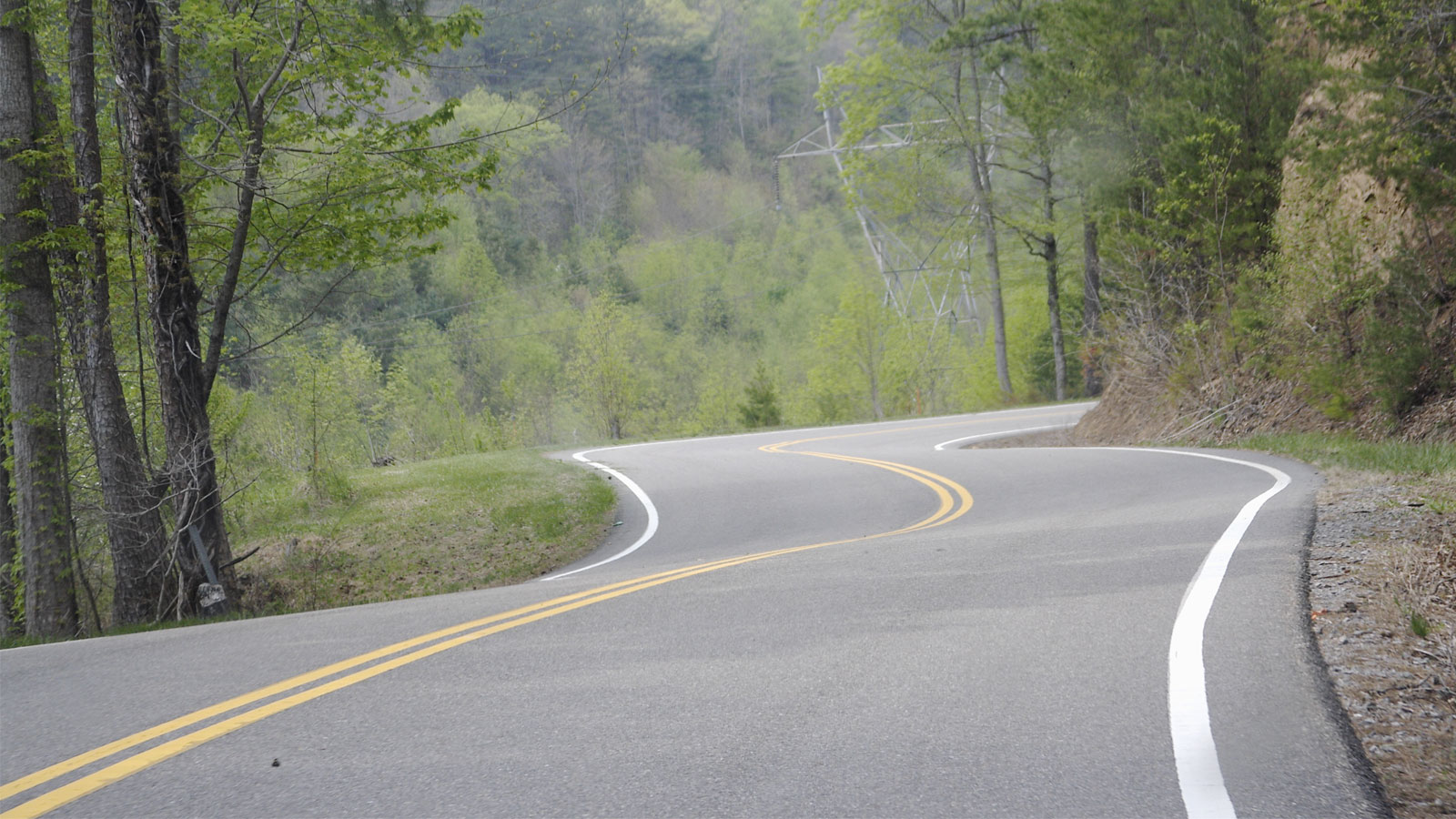
"Tail of the Dragon in a pickup loaded with canoes headed to the Nantahala River. Fear at each corner of a motorcyclist rounding the bend, tires on the centerline, head in my lane, planting themselves in my grill."
Running from North Carolina to Tennessee, The Dragon has 318 curves across its 11 miles of pristine tarmac.
Suggested by: @adamber99 (Twitter)
Painted Cave Road
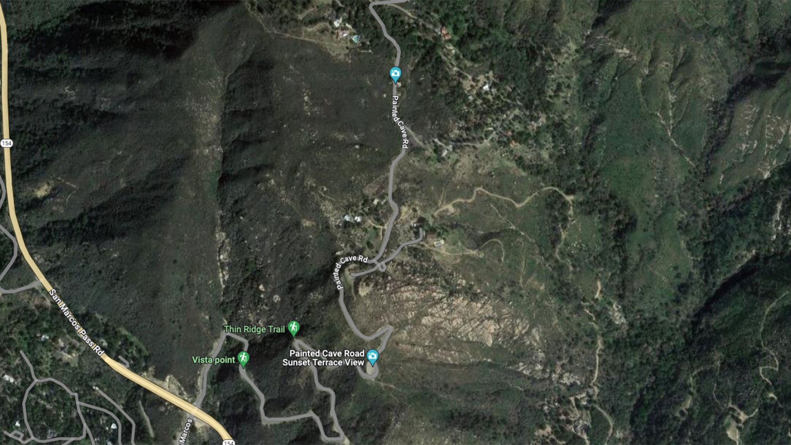
"Painted Cave road off the mountain pass north of Santa Barbara, CA. Drove on it in a rented ford expedition and was convinced I was going over the edge every time I had to navigate a car coming the other way."
The caves after which this road gets its name aren't actually painted. Instead, they get their bright colors from the various rock types, lichens and algae that cover their surfaces.
Suggested by: Casey Wagner (Facebook)
Queen Elizabeth II Highway
"I've driven on a lot of winding roads, dirt roads, unfinished roads and poorly maintained roads. And I've driven them in good conditions, winter conditions, limited vis conditions and rainy conditions.
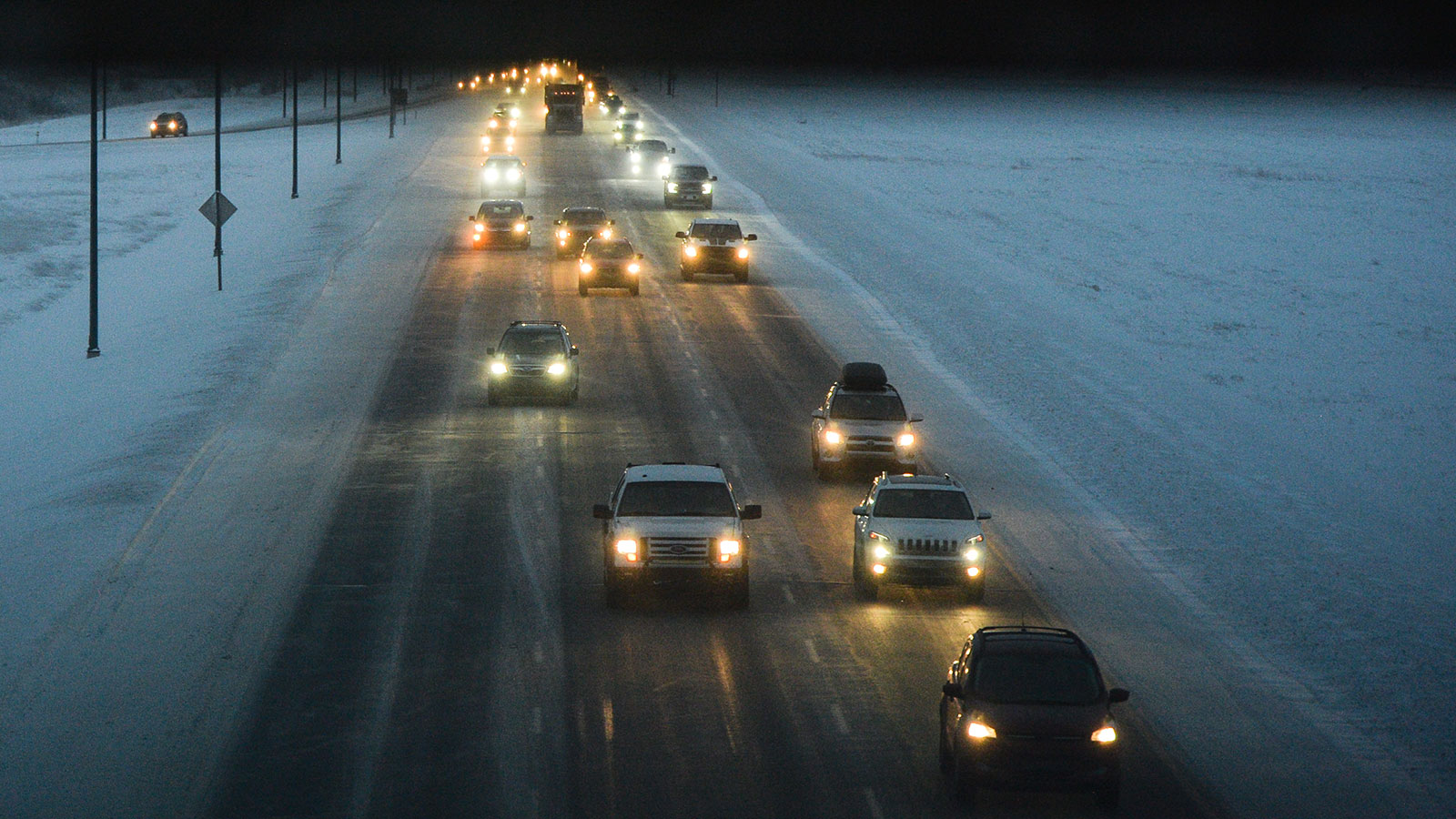
"By far the worst, in my opinion, is the stretch of highway known as the 'QE2' from Calgary to Edmonton Alberta. In the summer, you've got back to back to back lifted bro-dozers doing 160 kph in the left lane and lumbering RVs towing Jeeps and motorboats doing 90 kph in the right. It's utter chaos.
"But the real terror starts in the winter. particularly after the first major blizzard. I've done it. The road is blanketed with snow and ice. You can't see the edges of the road. Visibility is almost nonexistent... and yet those same bro-dozers are still trying to push through above the summer speed limit. Flashing their lights and flipping you off. Invariably they end up on the side of the road.
"When accidents happen on this road – they happen big. And if they're in front of you, you're going to be involved."
Across the Queen Elizabeth II Highway, the winter snowfall averages around 49 inches each year, which is a lot of snow to dodge if you're also looking out for idiots in lifted trucks as well.
Suggested by: z2221344
Cruce del Desierto
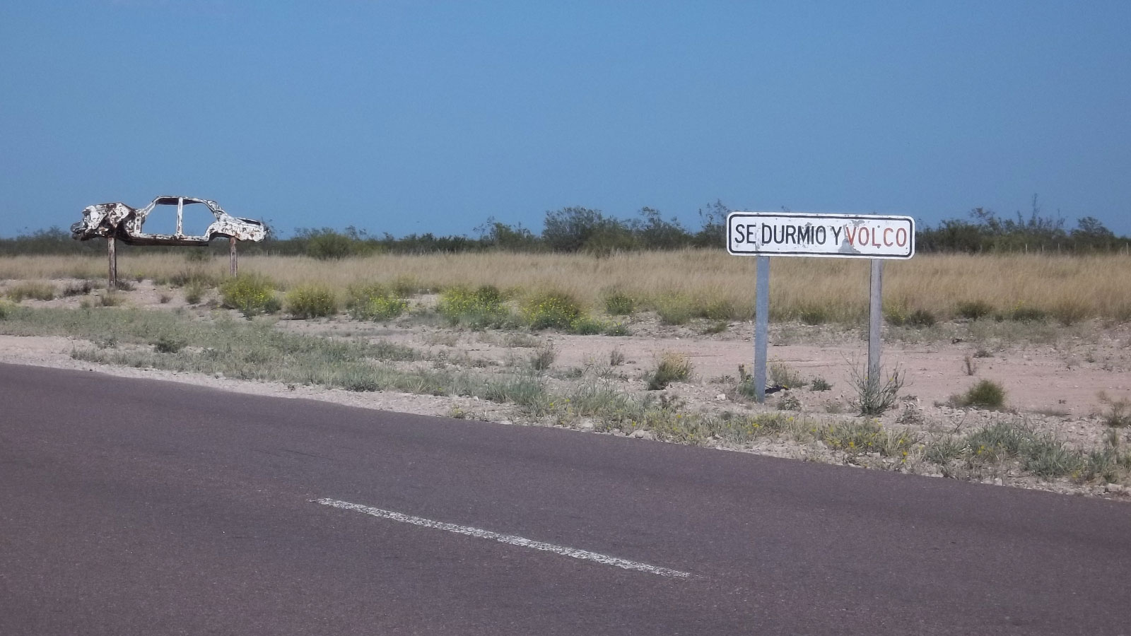
"RP20 'Cruce del Desierto' in Patagonia, 130 miles with no curves, no gas stations, no hotels, no trees. It makes me sleepy just thinking about it!"
That might sound long and boring, but it's nothing compared to the 162-mile straight on Highway 10 in Saudi Arabia.
Suggested by: @elmagojuan11 (Twitter)
Interstate 5
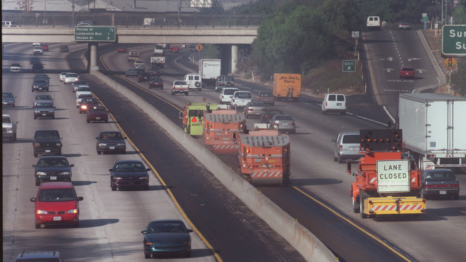
"I-5 south of Los Angeles in the 1990s, before it was widened. Everyone driving too fast, too close, with narrow lanes... and the feeling that you were just a few seconds away from a flaming 30-car pile-up like in CHiPs."
Nobody likes feeling as if they're just a few seconds from death.
Suggested by: Frank O'Rourke (Facebook)
Mt. Washington Auto Road
"A couple places I have driven that aren't super dangerous unless you go off the road or have issues.
"1. Rte 12 Utah from Bryce Canyon NP to Torey, UT: Amazing drive but there is a half mile part that sneaks up on you and that is The Hogback. No shoulder, no guardrail, and steep drops on both sides into canyons.
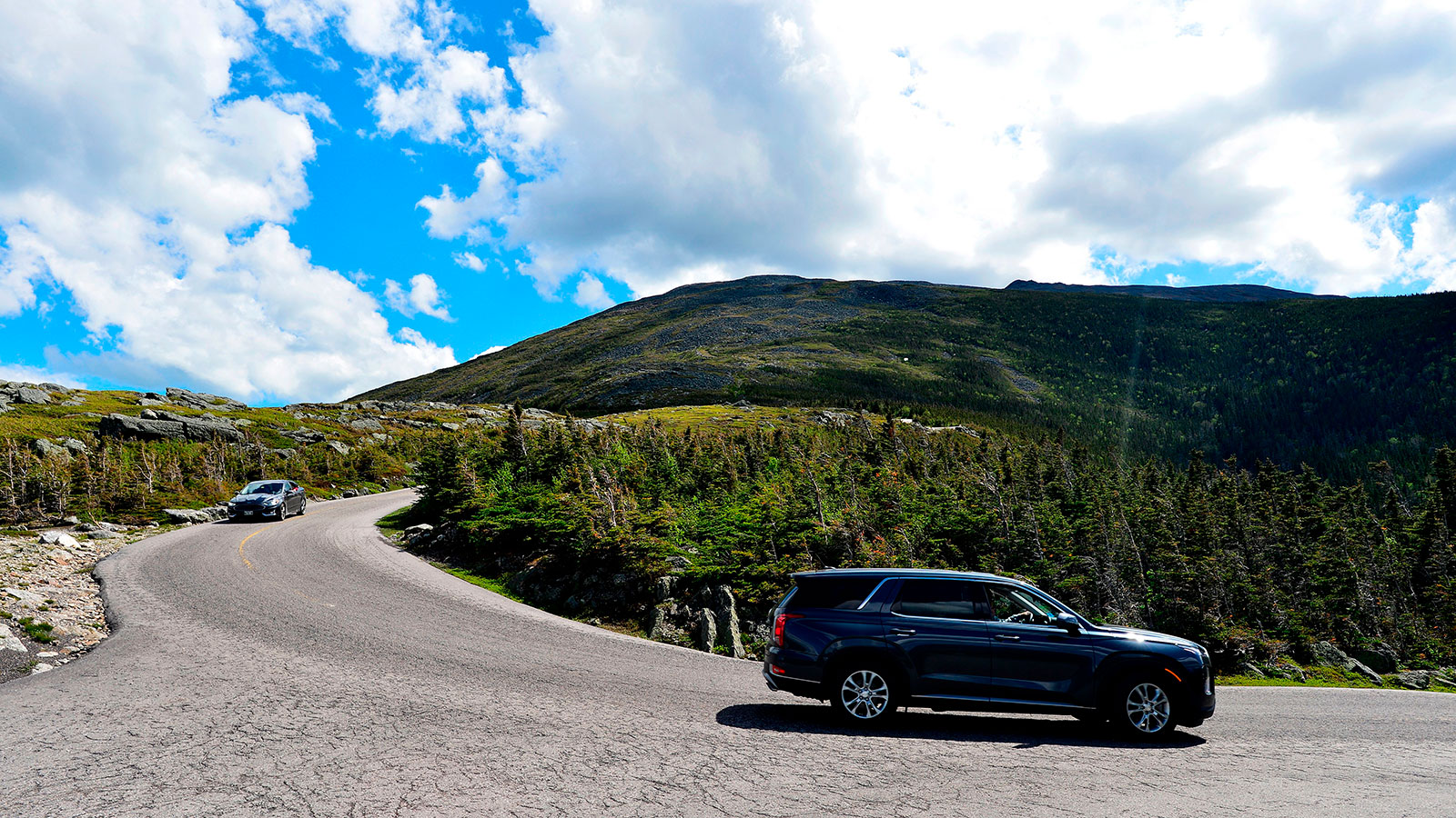
"2. Mt. Washington Auto Road: Not a bad drive up. Narrow and winding. It is the drive down where they tell you low gear and stop frequently to let you brakes cool so you don't loose them. Some places up towards the top that if you go off, probably won't stop for a while. Here is a fast version of the road. Takes about 30 minutes to drive up, unless it is during a hill climb."
Mt. Washington Auto Road was a popular answer among commenters today, due to its tendency to destroy your brakes on the way back down.
Suggested by: pontiacssv
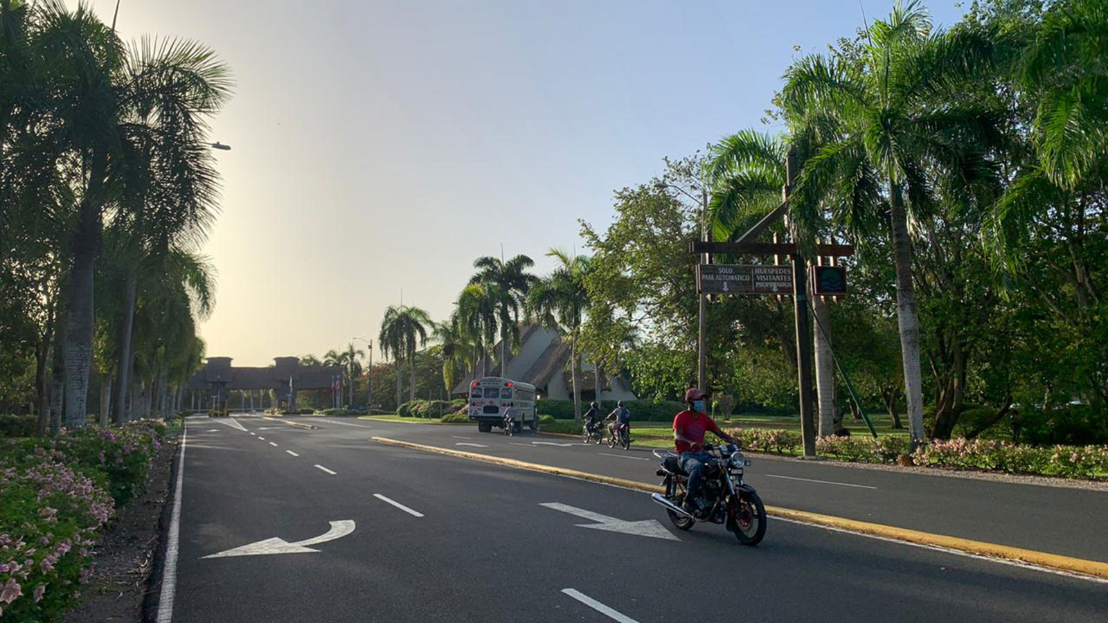
Just The Whole Dominican Republic
"Every road that I've driven in the Dominican Republic. Driving there is nuts, especially in more populated areas. Statistically it's one of the most dangerous places in the world to be on the motorway. Everyone drives in such a way to try to be the 'most firstest', which ironically causes traffic to move painfully slow."
Are you brave enough to tackle a road trip in the Dominican Republic after this review? Let us know how you get on.
Suggested by: Dominic Di Girolamo (Facebook)
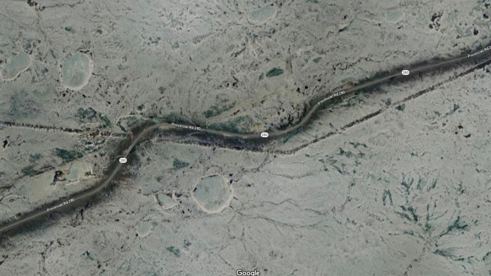
Provincial Road 280
"Provincial road 280 in northern Manitoba.
"Long, winding, gravel highway with no services for many, many miles. Narrow and slippery/snow-drifted in winter, plowed barely wide enough for two-way traffic. Mud bogs in the spring. Moguls that will bounce your melon off the headliner if you don't see them in time, and suicide-jockey pulp truck drivers. Long stretches of desolate northern scrub, punctuated by some stunningly beautiful views of lakes and rivers, most of which can kill you if given the chance.
"I used to love driving that road, but that was back in my younger days, in a rented Cherokee. I don't think I could handle the stress anymore."
It's rare that a road sounds awful year-round, but I can honestly say that this highway sounds like it would be hell in spring, summer, fall and winter.
Suggested by: muqaddimah
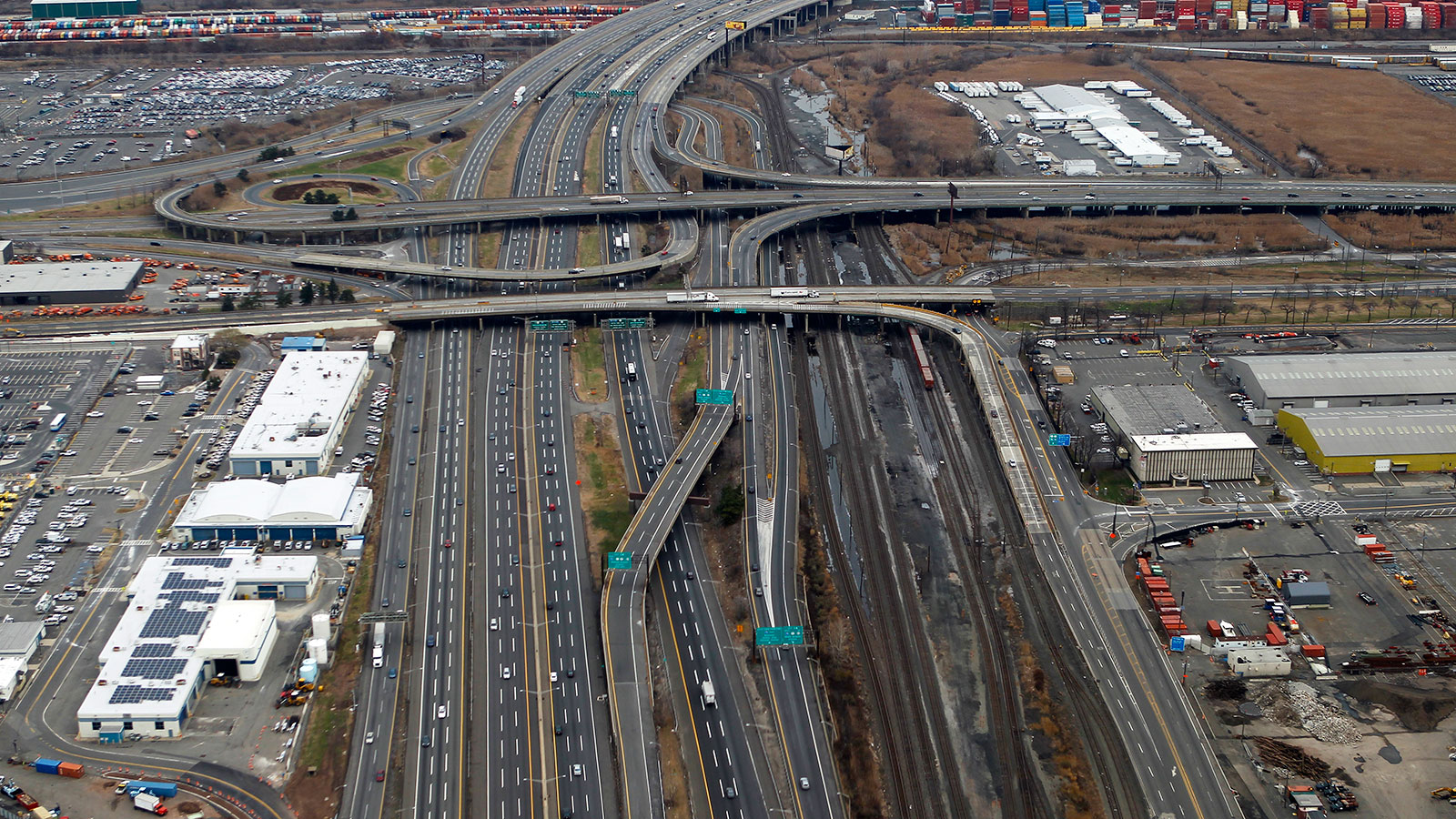
The New Jersey Turnpike
"The NJ Turnpike."
I know a certain Jalopnik writer that might disagree with you there.
Suggested by: @daveydo2000 (Twitter)
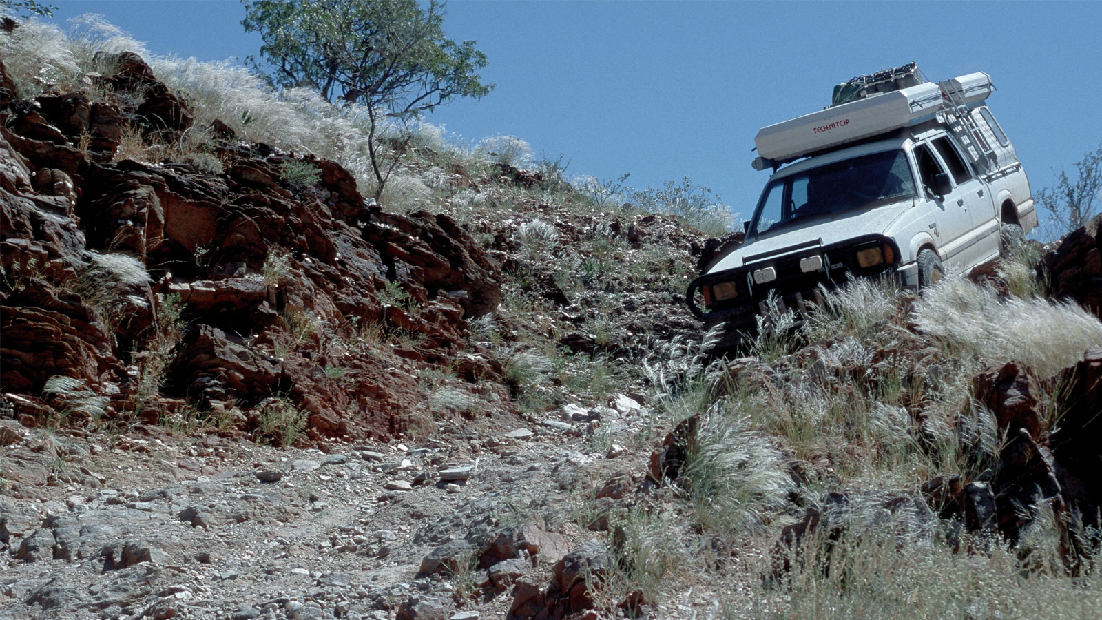
Van Zyl’s Pass
"Probably my first descent of Van Zyl's Pass in Namibia, which descends from Otjitanda in the mountains down into the Marienfluss Valley.
"Its average grade is steep, but kind of OK, but there are some very rough, off-camber, steep passages, and the whole thing is kilometers from anywhere — if something happens, you're on your own. There are a few spots where the off-camber is so severe that tipping the vehicle is very possible unless the driver selects the correct line, which isn't always obvious. All in all the descent from Otjitanda to the valley floor is about 30km. Budget at least three hours.
"Do not attempt unless you're in a well-sorted, reliable off-road vehicle (the pass having a national road number notwithstanding), and unless you have an idea what you're doing. Most trails in Moab are less terrifying.
"Oh, and it's a one-way road. Do not attempt to drive up the pass."
Ensuring that you "have an idea what you're doing" should be a prerequisite for any adventure on the roads in thai slideshow, I think.
Suggested by: Dominic von Stösser (Facebook)
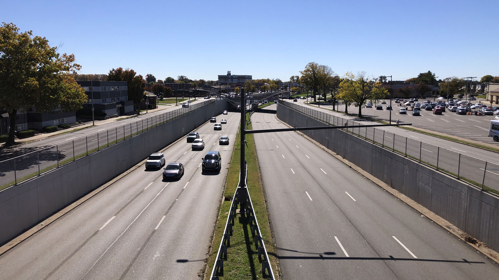
Roosevelt Boulevard
"No contest – Roosevelt Blvd in Philadelphia during a rainy evening rush hour the Friday before Christmas Day.
"The road is a nightmare any time of day, but add poor visibility, slick road conditions. stressed out commuters and last minute Christmas shoppers?
"No wonder it's been called the most dangerous road in Philadelphia."
I think I'll add almost every busy highway in America to this list once the rain starts falling and the traffic gets angry. Not a fun place to be.
Suggested by: earthbound-misfit-i

