America's Lost Highways Are Beautiful Monuments To Our Garbage Infrastructure
From crumbling ruins to roads surrounded by ghost towns, here's what happens when a highway is abandoned.
It's hard to overestimate just what a game changer the 1957 Interstate Highway Act was to building America. It's an incredibly impressive feat of engineering and construction. But even before those slick new ways of driving, America was still the home of the road trip, via a ramshackle method of highways, turnpikes and bypasses.
Some of said highways are now relics; stretches of abandoned road that can either tickle your wonder at the resilience of nature or despair at this unique glimpse of some apocalyptic near-future, whichever you're in the mood for.
No two stretches of abandoned road are alike. Some have returned to nature, some serve as historic sites and other sit silently and forgotten besides busy roads, looking on at a future they never had or a past long removed.
Abandoned Pennsylvania Turnpike
The first turnpike in America has a 13-mile stretch of road running through three beautiful tunnels that's totally abandoned. Opened in 1940, construction wasn't smooth sailing for the Pennsylvania Turnpike. Labor strikes, World War II and a horrific tunnel collapse killed three workers.
The turnpike winds through seven tunnels, six of which were built in the 1880s for a rail line that would never come. What was a smart reuse of resources in the '40s became a problem in the '50s and '60s as traffic increased, along with the size of vehicles and amount of safety regulations regarding transportation, according to the Federal Highway Safety Administration:
The 24-foot wide lanes, divided into 12-foot lanes, accommodated the width of vehicles, but shrunk to 11.5 feet wide inside the tunnels where the double lanes ended and only one lane in each direction began. In 1941, after one year of operation, the Pennsylvania Turnpike Commission reported more than two million cars had traveled the road. By 1960, however, there were many more vehicles on the roadway causing congestion and delays at the tunnels. Some of these delays were as long as five miles.
After a study was conducted to alleviate the problem, it was decided that it was more economical to expand the Blue, Kittatinny, Tuscarora, and Allegheny Mountain tunnels with new parallel tunnels, and to bypass the Sideling Hill, Rays Hill, and Laurel Hill tunnels. These last three tunnels, along with a large travel plaza, encompassed 13 miles of the turnpike that was bypassed, and is known today as the Abandoned Pennsylvania Turnpike.
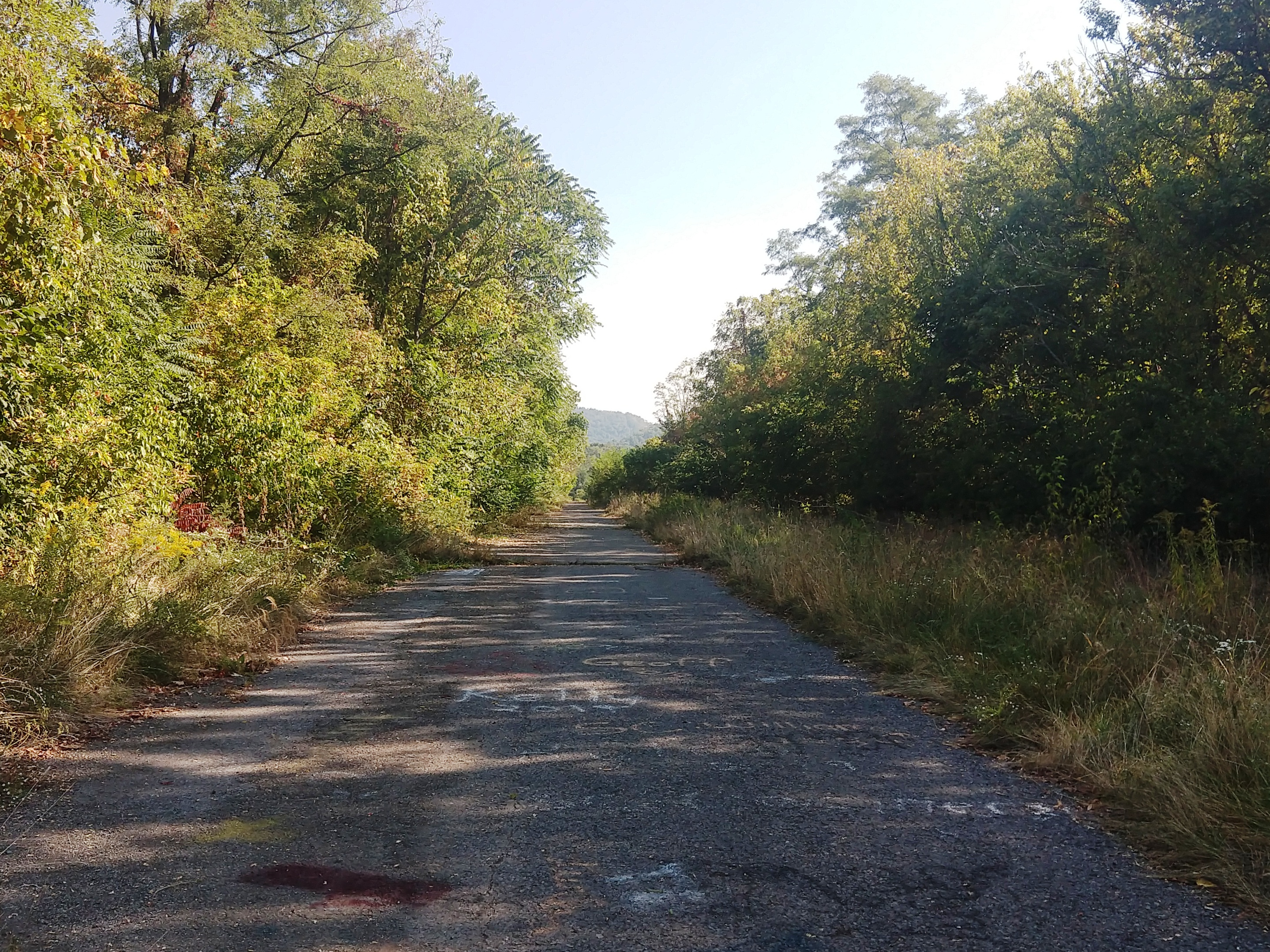
The bypass was completed in 1968, and this bit of turnpike just east of Breezewood, PA saw no more traffic. It's not officially open to the public, but there's also nothing stopping folks from wandering the 13-mile stretch, which now attracts nature lovers and explorers of abandoned sites.
Multiple Parts Of Old Route 66
Route 66 was a legendary cross-country route that ran for over 2,400 miles from Chicago to Los Angeles and became the focus of music, art and Americana culture. Here's how Smithsonian magazine describes the highway's birth:
Soaring automobile sales, coupled with the Federal Aid Highway Act of 1921—which called for the networking of roads—provided the impetus for the highway. Cyrus Avery, an Oklahoma state highway official, and Springfield, Missouri, entrepreneur John Woodruff mapped out Route 66's diagonal course based on existing trails blazed by Native Americans, explorers and soldiers. And though it wasn't the first or longest of its kind, Route 66 was the shortest, most temperate year-round stretch between the Midwest and the West Coast. During World War II, soldiers hitchhiked on it. After the war, Americans took to the highways as never before, and a distinctive roadside culture—diners, motor courts and kitschy tourist traps—grew up along Route 66 to cater to them.
"It became a stage on which Americans acted out their aspirations," says Roger White, curator of road transportation at the Smithsonian's National Museum of American History. Dubbed the "Main Street of America" by Avery, it inspired Bobby Troup's song "Get Your Kicks on Route 66" (recorded by Nat King Cole and, later, the Rolling Stones), Jack Kerouac's beatnik bible On the Road, the 1960s television series "Route 66" and, most recently, Pixar's animated film Cars.
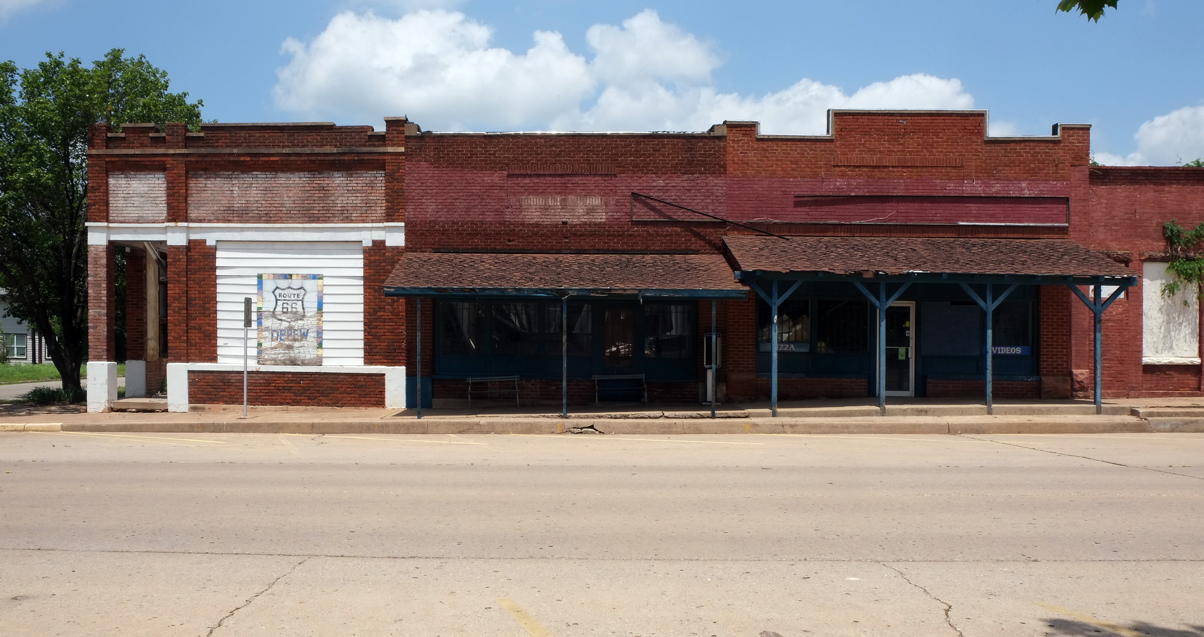
It was decommissioned in 1985 after years of the interstate highway system chipping away at its dominance over road trip culture. Today, 85 percent is drivable and still used as business loops off of the freeways that killed the highway to begin with. There's even been legislative efforts to save the historic highway, but you can't kill progress. You can find multiple ghost towns along the abandoned stretches of what was once Route 66, especially in the southwest sections, though there is an abandoned stretch within spitting distance of downtown Chicago.
I-44 Near Tulsa, Oklahoma
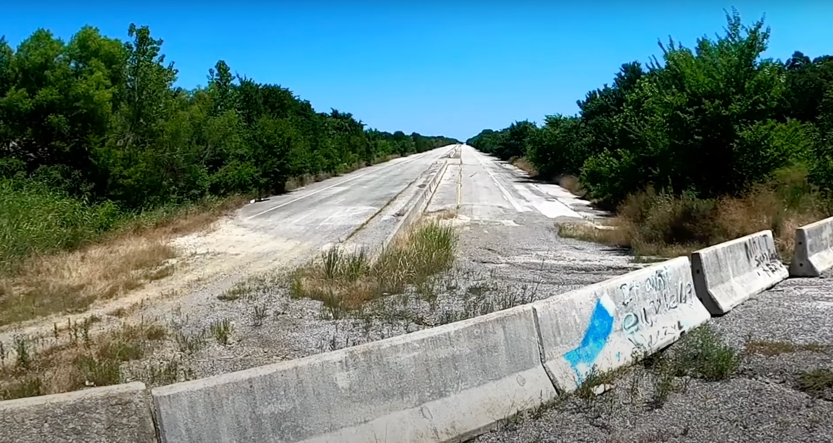
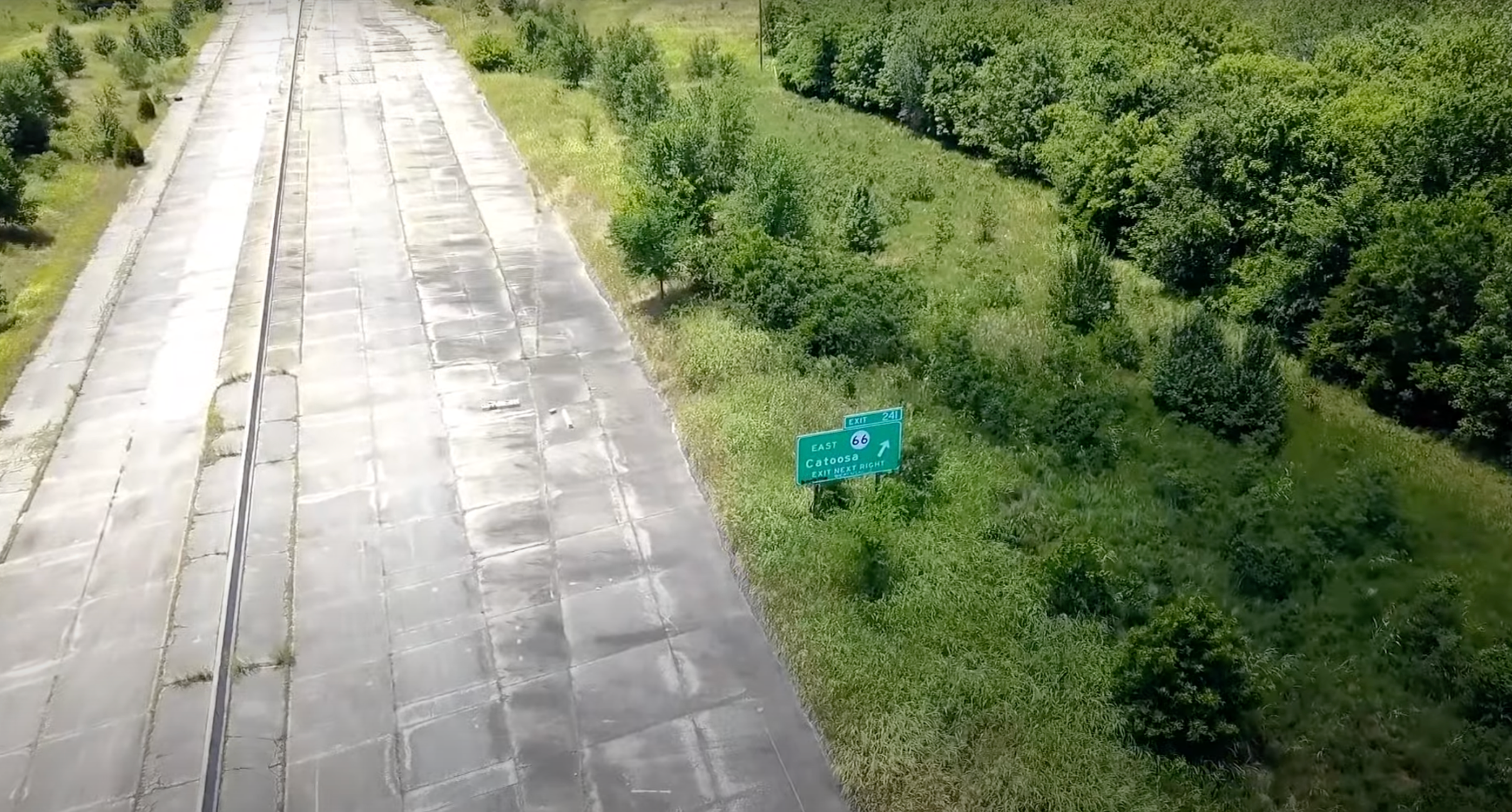
This 1.5-mile stretch of I-44 was laid waste in 2002 by the construction of the Creek Turnpike around Tulsa, Oklahoma. However, this stretch of road was also known as one of the most dangerous stretches in all of Oklahoma due to complex merging patterns and hazardous curves, according to Tulsa World, so maybe it's better off being empty of cars.
Highway 60 In Arizona
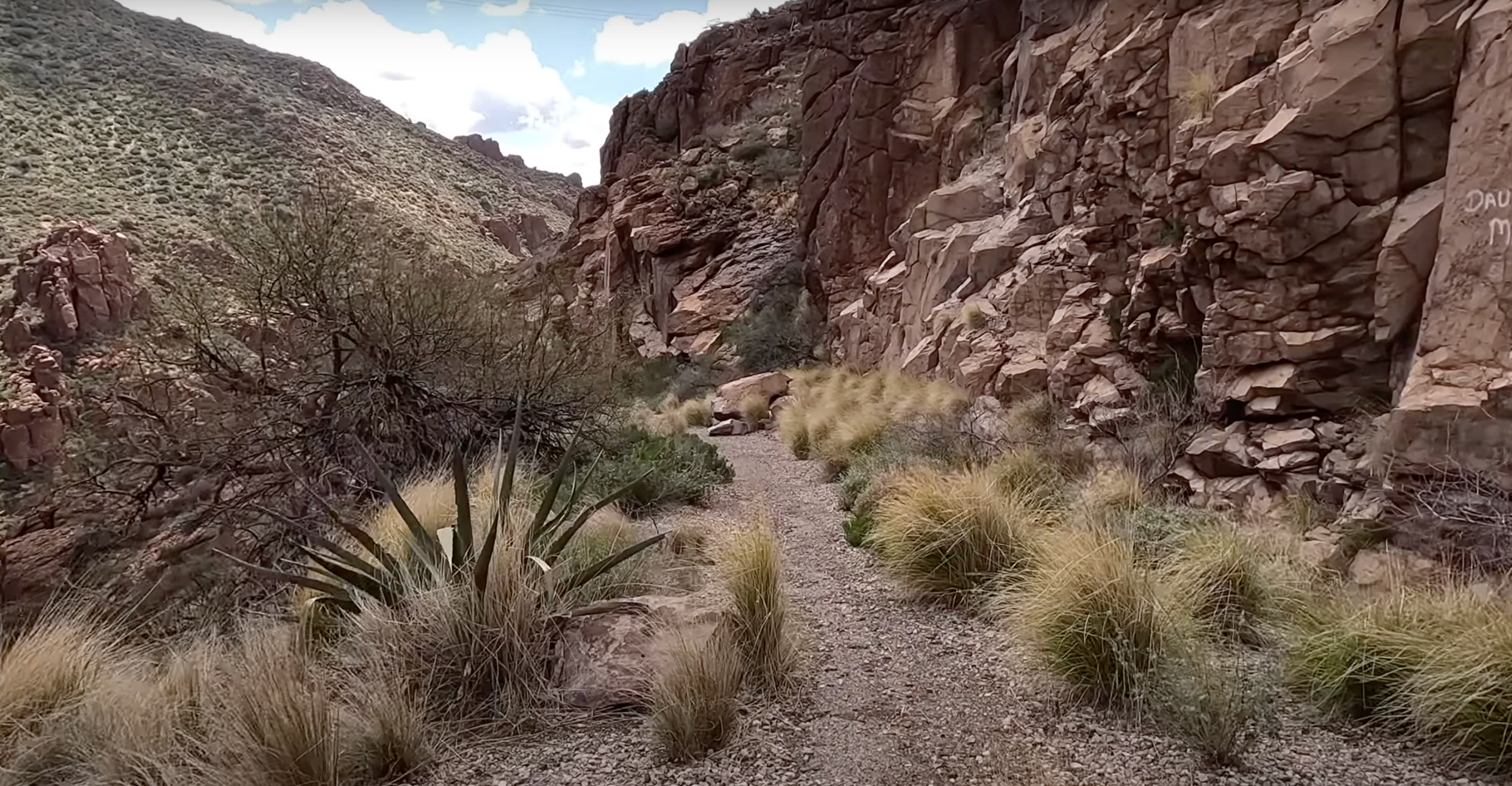
This bit of highway was built in 1919, only to be abandoned in 1952 with the opening of a safer, modern tunnel straight through the the craggy Arizona mountain. It runs 21 miles from Superior, Arizona to Miami (Arizona, not Florida). This road must have been fairly dangerous back in the day due to steep uphill and downhill slopes, narrow roads and rock falls. There's also the issue of drivers facing the choice of either a solid wall of rock or a deathly drop, should something go awry on the narrow hairpin turns up and down a canyon.
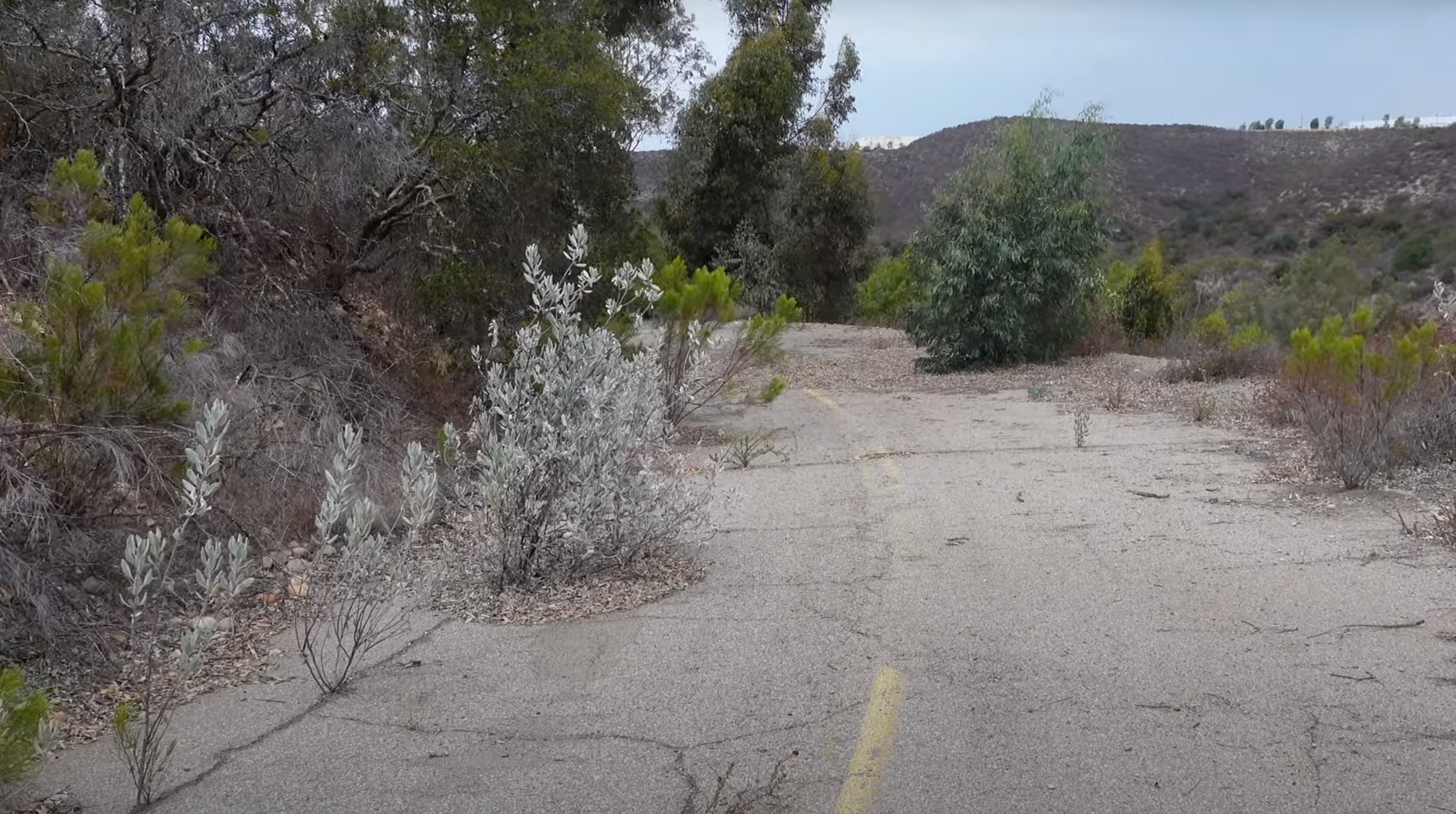
Due to the length of time its been closed and the repurposing of the road for the enjoyment of hikers and rock climbers, this one looks least like a road anymore. However, if you visit this abandoned highway, you are welcomed into a park rather than warned with an "Enter At Your Own Risk" sign, and the views around the old highway are spectacular.
It's pretty wild to think it only took sun, rain and the passing of 70 years for this road to become almost completely unrecognizable in parts.
Highway 80
Everyone still talks about Route 66, but Highway 80 was also one of the first true continental crossing route, running from Savannah, Georgia to San Diego, California. Tourism on the route tanked in the 1930s, with the same kind of small towns as along Route 66 disappearing off the map as traffic died. The Interstate Highway System in 1957 put the final nail in Highway 80's coffin. Today, miles of the old route are desolate and abandoned, but offer beautiful sight seeing, at least. Many stretches are preserved by states as historically recognized routes.
Interstate 95 - Newburyport, Massachusetts
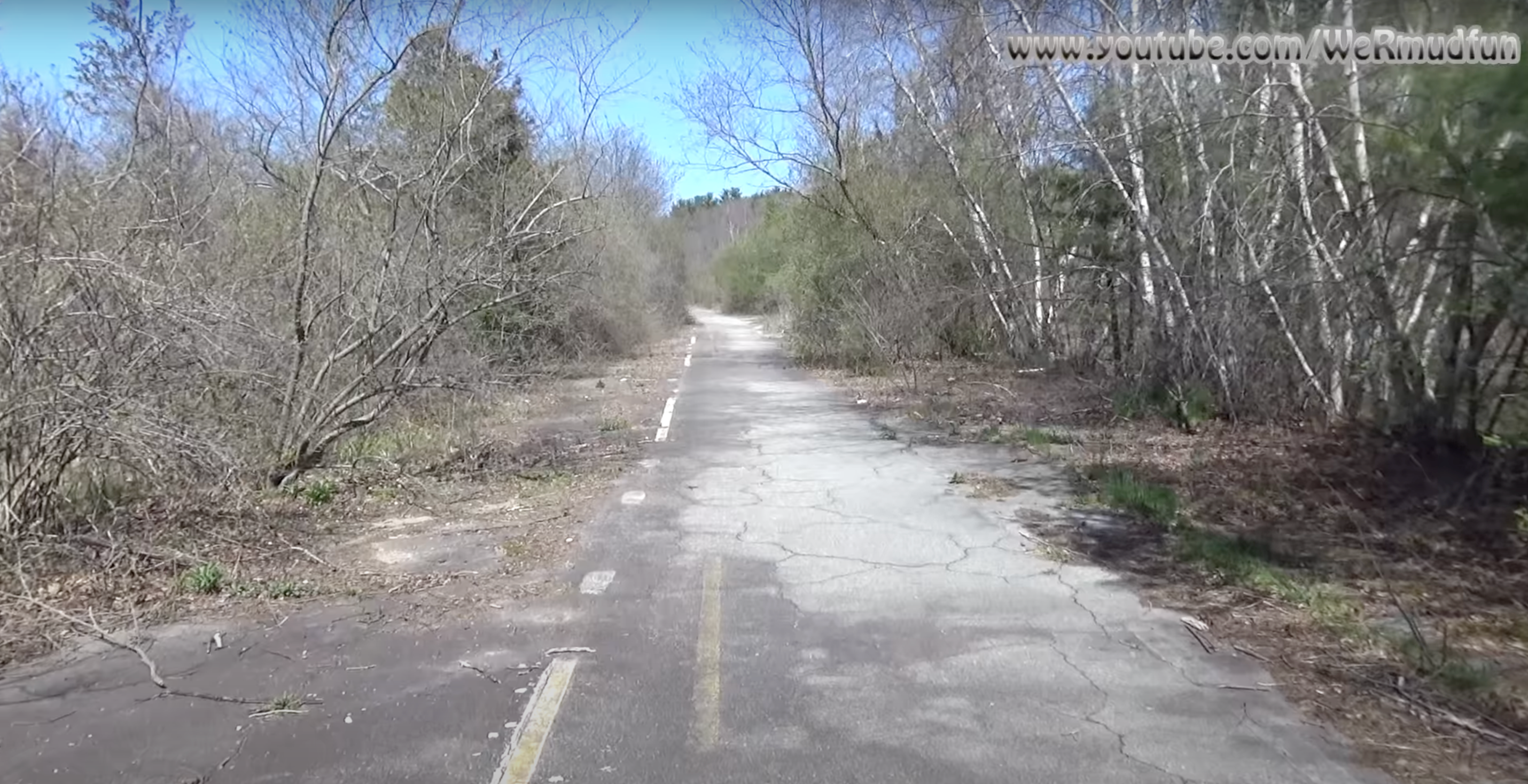
This stretch of road was left behind by various upgrades and readjustments over the years. It now serves as the entrance to some public trails in Massachusetts, a state with no shortage of hiking options.
Pennsylvania Route 23 - “Goat Path Expressway”
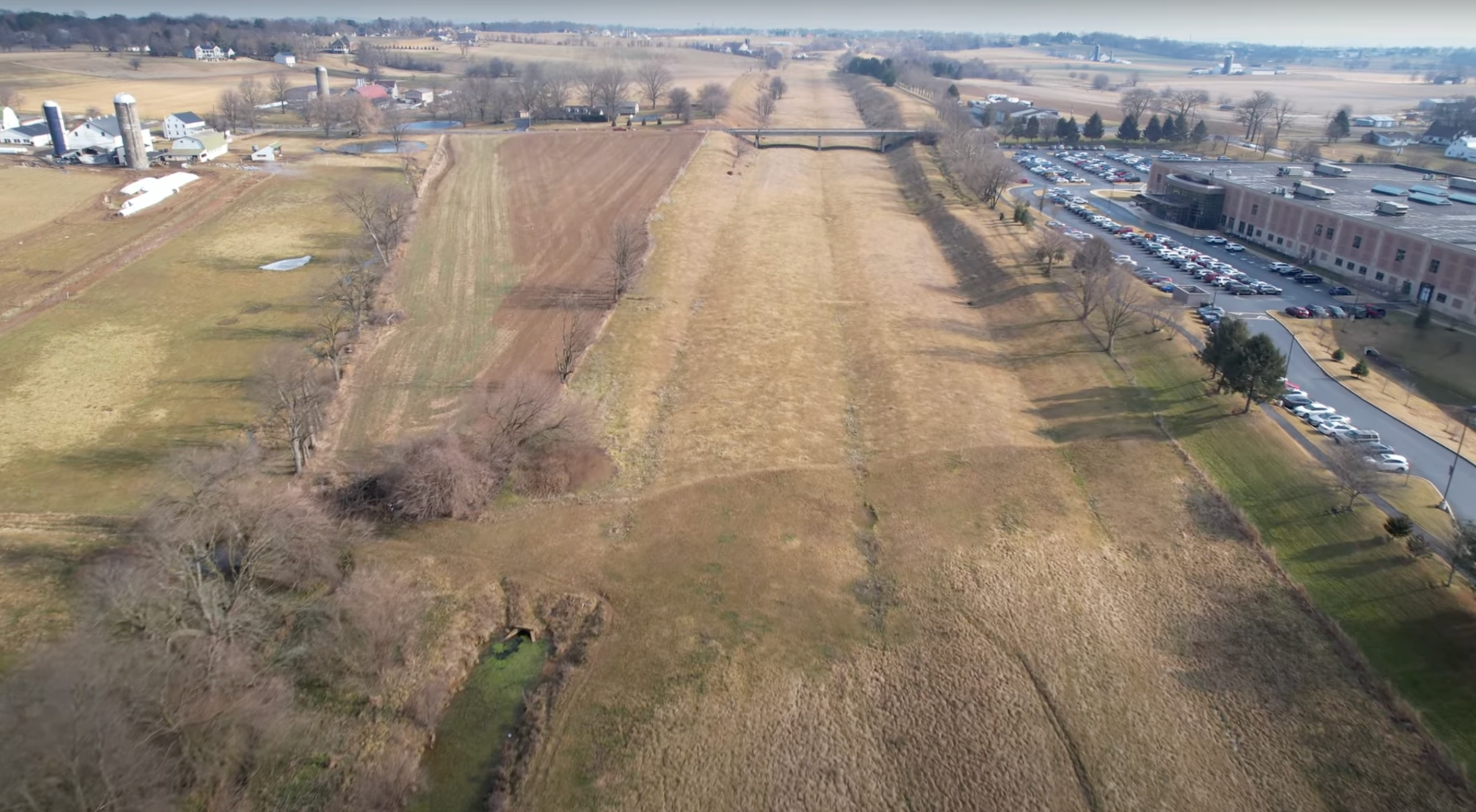
Pennsylvania Route 23 has a failed bypass running along side it known locally as the Goat Path Expressway. PennDOT ran out of money for the project in 1977, so it covered the grated area with dirt and allowed farmers to use it. Since goats can eat pretty much anything, they're ideal for cutting back the wilderness creeping over the unused road. You can still see where the roadway was meant to be.
Highway 95 - The McPhaul Suspension Bridge
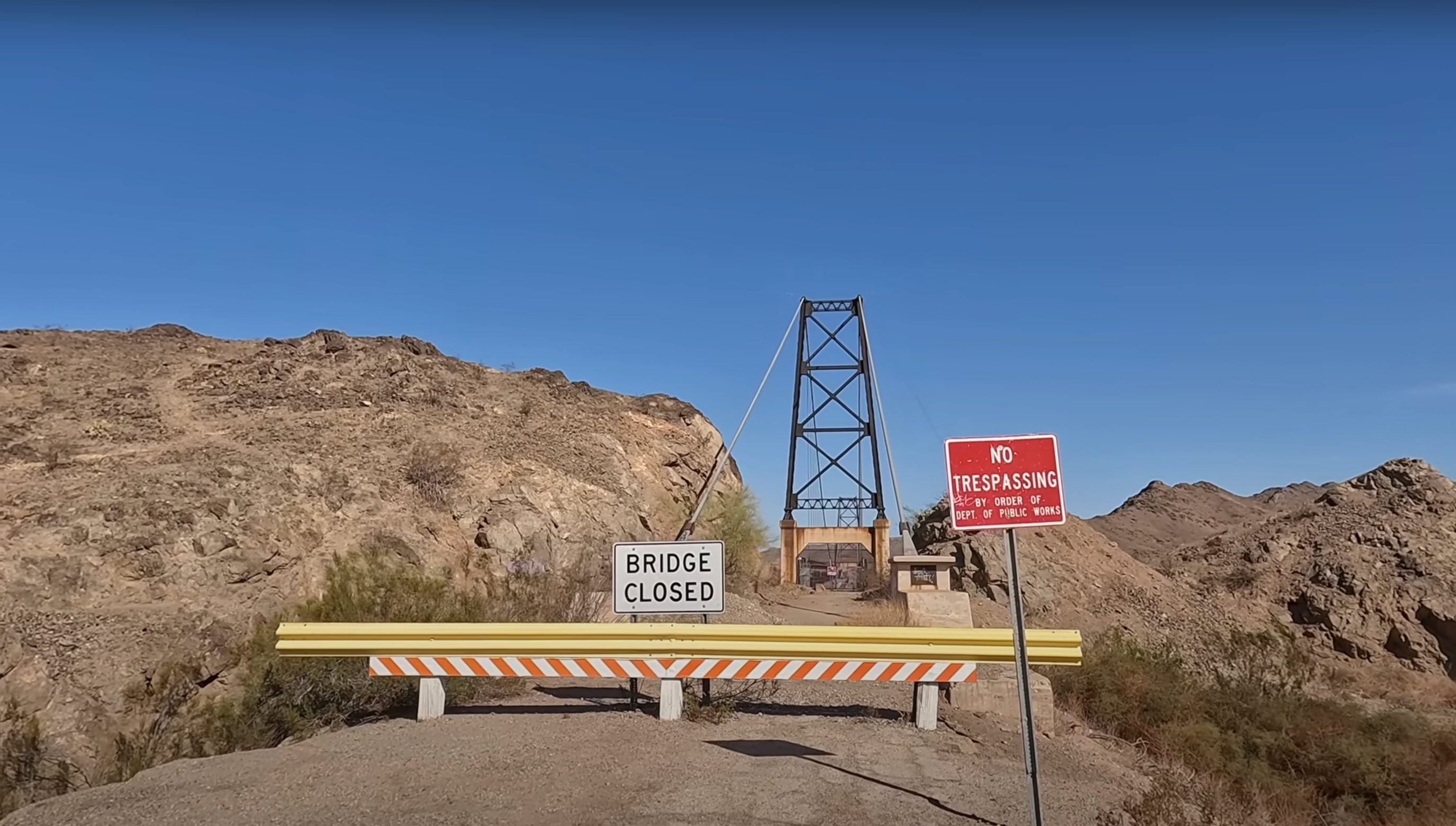
Here's an odd sight for you: a suspension bridge like a mini Golden Gate, leading to nowhere in the middle of nowhere. Highway 95 is long gone now, reduced to a dirt road leading to the McPhaul bridge that stretches over the Gila River. When the bridge was built in 1929 the river was much deeper and wilder, and communities needed a sturdy bridge to get across the raging waters. In 1968, the bridge was found unsuitable for the heavier cars of the era, according to the Arizona Department of Transportation. The bridge is now closed due to concerns about its age, though it's standing pretty tall for a nearly 100-year-old suspension bridge in the middle of nowhere.
I-80 Interchange In Farmington, Connecticut
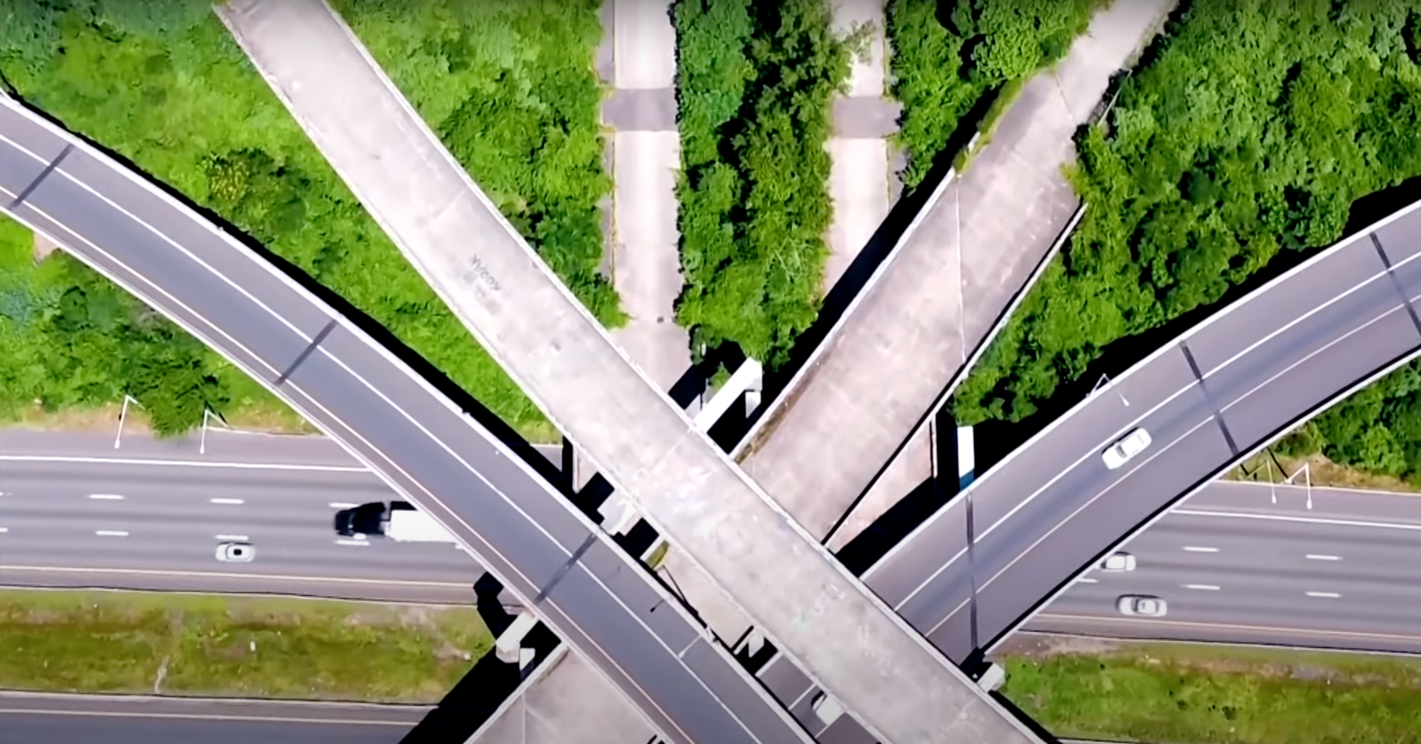
Here's an unusual one. Completed in the 1960s, this interchange wasn't abandoned – it was never used in the first place. Meant for the planned I-291 Beltway, environmental concerns and costs killed plans to build more freeway. Now the few active ramps cross next to ghost bridges covered in graffiti.
Highway 395
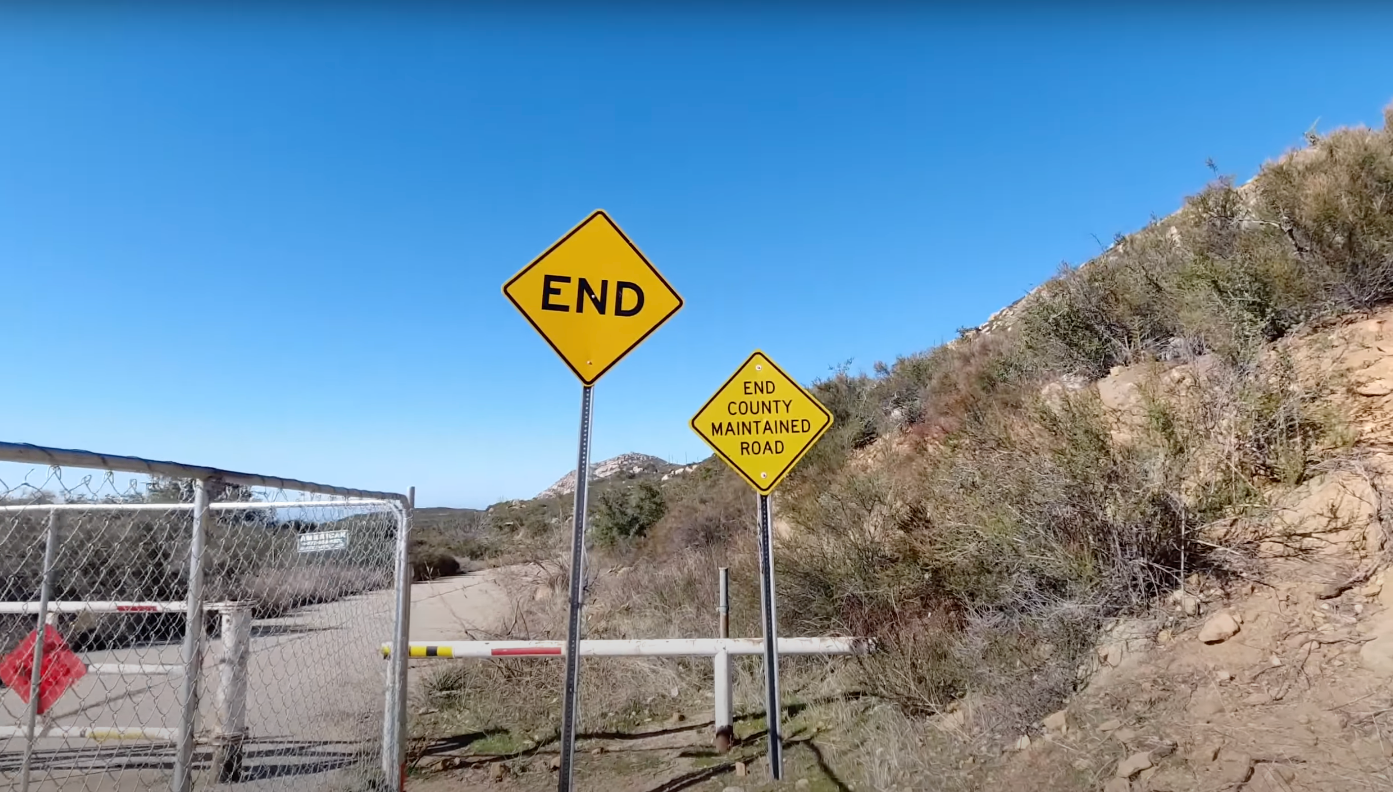
This highway is abandoned in several sections thanks to bypasses once again employed to make the route safer and more efficient in terms of traffic. The road was only used from 1935 until 1949 when it was completely bypassed. Portions were then closed for good in the 1980s. Parts of Highway 395 are now repurposed into walking and biking paths for outdoor enthusiasts.
Highway 39 Outside Of Los Angeles
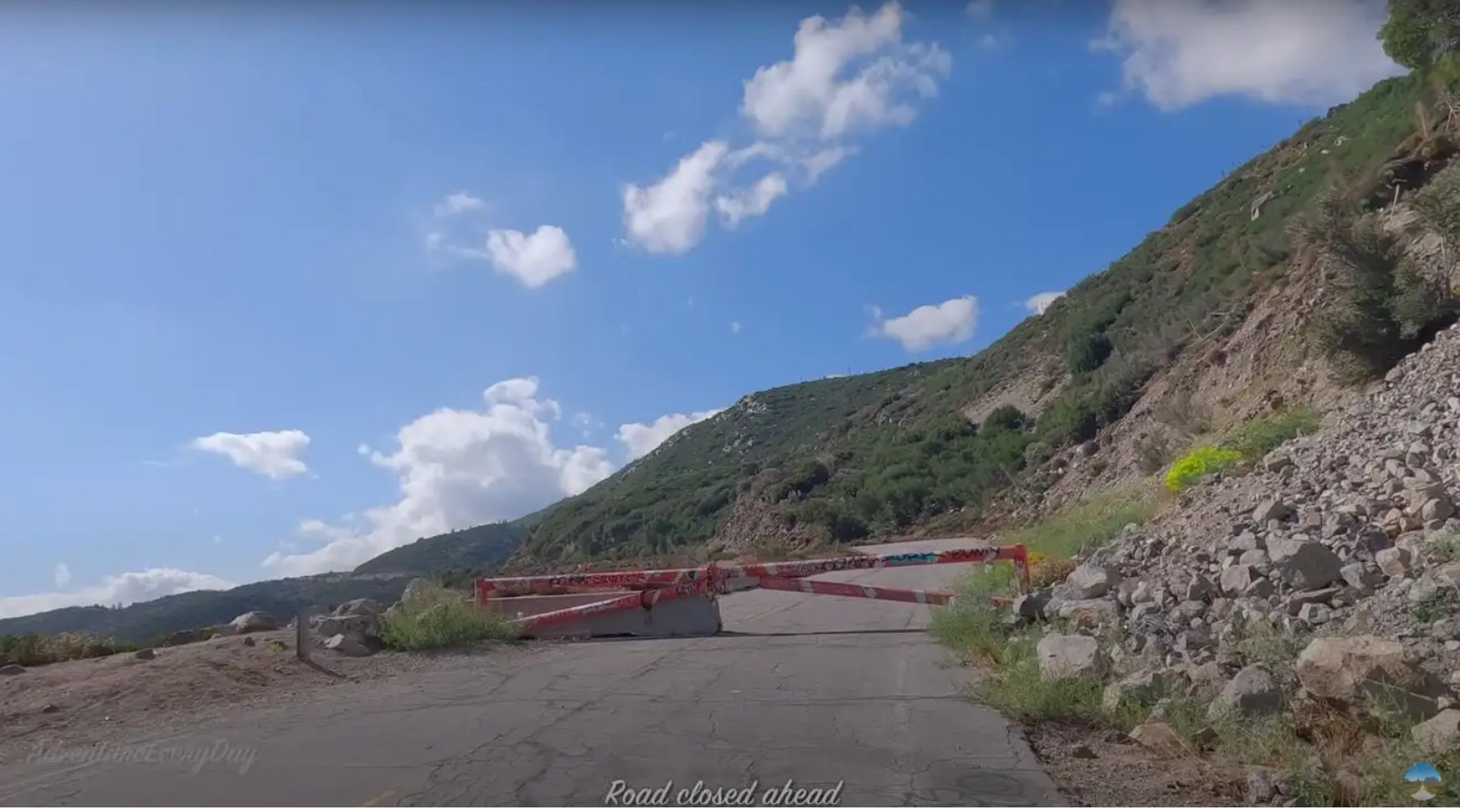
This gorgeous highway wasn't shut down by a bypass, nor was it made obsolete by the Interstate Highway System. California closed Highway 39 in 1978 following a massive rock slide. Municipalities have always found the cost for cleaning up the highway too high, and those costs only rise the longer the road is left to break down. The four-and-a-half mile stretch remains closed to every vehicle save emergency vehicles such as forestry services or EMTs. Still, the closed road boasts some of the most beautiful views in California, and is a popular biking and hiking destination.
